In a world driven by data, the ability to understand where things happen is just as important as know what happens. The Master of Science in GIS and Geoinformatics (Non-Thesis) at Colorado School of Mines prepares you to transform geospatial data into insight that informs real-world decisions across environmental, resource and technical fields.
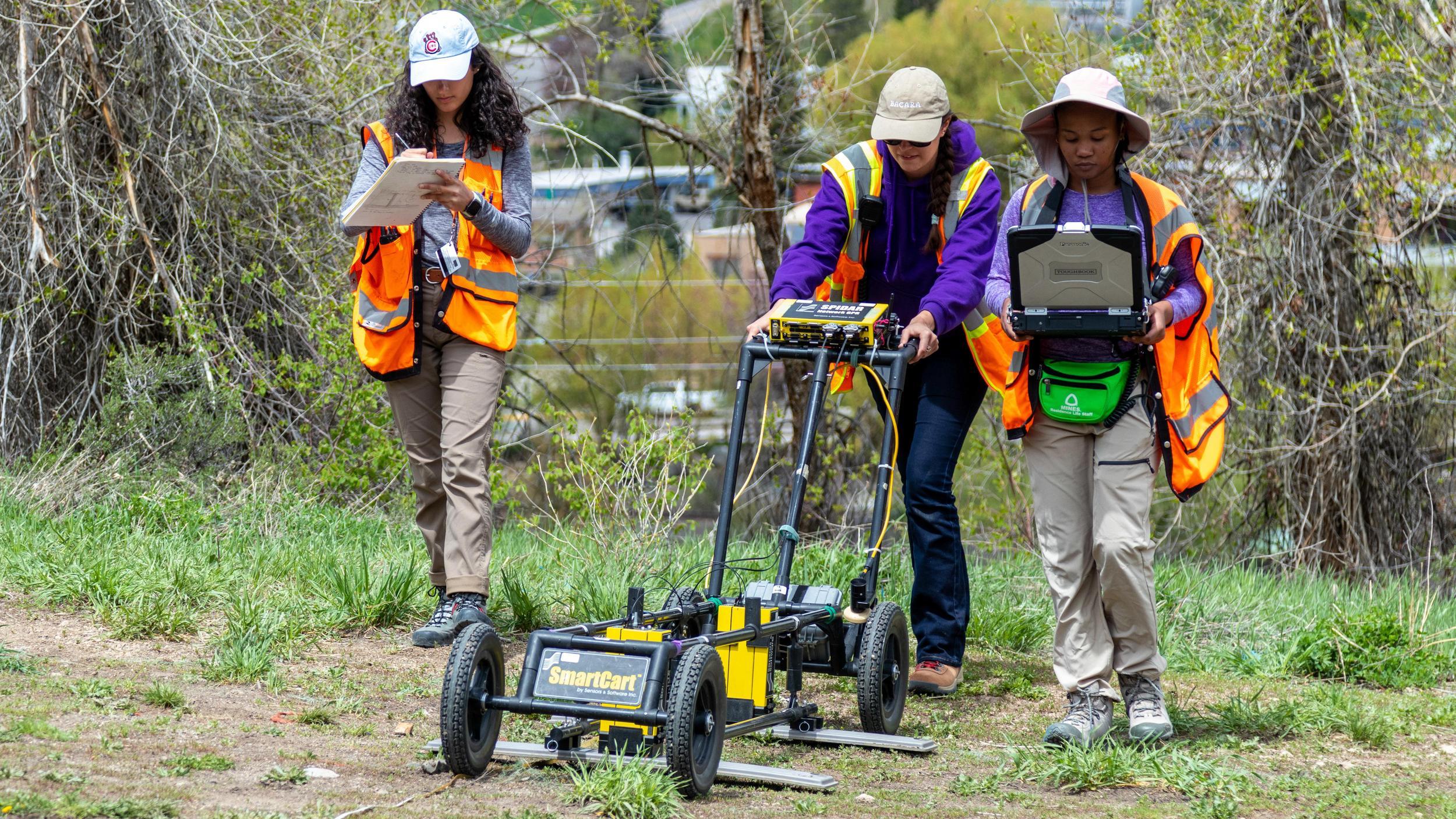
This professionally focused program provides advanced training in geographic information systems (GIS), spatial analysis and remote sensing. You’ll work with imagery, field data and large geospatial datasets, learning how to integrate and interpret complex spatial information using modern GIS technologies and computational workflows. You’ll become well-versed with powerful analytical tools for understanding patterns, relationships and change across landscapes and regions.
At Mines, geoinformatics is grounded in application. You’ll develop the technical depth to manage, analyze and communicate spatial data effectively, preparing you to contribute to interdisciplinary teams working in natural resources, environmental management, geosciences and related technical industries. By graduation, you’ll be equipped to contribute to projects that depend on accurate spatial analysis, bringing clarity, precision and technical expertise to teams that rely on geospatial intelligence to move their work forward and make effective decisions.
Program Detail
The Master of Science in GIS and Geoinformatics (Non-Thesis) at Colorado School of Mines is a fully online graduate program designed for working professionals and students seeking advanced geospatial training for applied practice rather than academic research careers.
Students complete 30 credit hours of graduate-level coursework. The program includes three required core courses, one of which culminates in a graduate project or applied professional report, and seven elective courses that allow students to tailor the degree to specific interests and career goals. Up to six credits may be applied toward an in-depth analytical project or professional report focused on real-world geospatial problems.
The curriculum emphasizes spatial analysis, remote sensing, geospatial programming, quantitative methods and data management, with electives spanning environmental and earth systems, energy and natural resources, infrastructure and land-use planning and geospatial data science. Students may engage with industry-sponsored projects or agency-driven case studies that mirror professional GIS workflows and decision-making environments.
Throughout the program, students participate in graduate seminars and colloquia that connect coursework to professional practice, emerging technologies and applied geospatial challenges across earth, energy and environmental systems.
The GIS and Geoinformatics Graduate Certificate may be applied toward this master’s degree, allowing students to stack credentials and build momentum toward completion. Mines undergraduate students may also apply for the combined bachelor’s and master’s (4+1) program, enabling approved courses to count toward both degrees and accelerating time to completion.