Golden Open Space and Early Bird Access
Overview
The Stewards of Golden Open Space (SOGOS) partnered with Team Open Space Force (The Big Horns), a senior design team at Colorado School of Mines, to complete the Golden Open Space Assessment Model and Early Bird Site Access Project during 2020. The final project had three major components: Open Space Site Assessment Inventory Template, 3D printed models of three open space parcels, and plans for community access to the Early Bird site. SOGOS and The Big Horns focused on three open space parcels in the City of Golden. These three parcels were North Washington Open Space, Kinney Run, and Dakota Ridge (including Early Bird). These three parcels were considered the most significant for SOGOS. The team created an Open Space Site Assessment Inventory template from review open space master plans and discussions with SOGOS. This inventory template was completed for the three significant open space parcels from site visits by the team, tours of Early Bird with SOGOS and Donna Anderson, and flora tours with Tom Schweich. The team used LiDAR data to create accurate 3D printed models of the three significant parcels. The team also developed a plan to allow for public display, access, and education of the first reported bird and crocodile footprints from the Creatacous period located at the Dakota Ridge Open Space. This collaborative project between SOGOS and The Big Horns was to determine the assets and value of the Open Space Resources in the City of Golden and to understand and provide the vision of the community.
Live Zoom Chat
Use the link below to join us live from 8:00 – 10:30 a.m. on December 3.
Please use passcode: 318700
Or iPhone one-tap: 12532158782,91753562502# or 13462487799,91753562502#
Or Telephone:
Dial: 12532158782 (US Toll) or 13462487799 (US Toll)
Meeting ID: 917 5356 2502
Team Members
- Brock Abeyta
- Charlie Barron
- Alex Liethen
- Jack Mathes
- Breanna Moak
The Client
- Stewards of Golden Open Space
Acknowledgements

Project Advisor: Dr. Kristoph Kinzli
Technical Advisor: Dr. Donna Anderson
Video
Elevator Pitch
Team Open Space Force (The Big Horns) , in conjunction with the Stewards of Golden Open Space (SOGOS) and Colorado School of Mines (CSM), have been tasked with helping advance the SOGOS mission of “expanding understanding and appreciation of and advocating for the protection and preservation of these important natural assets [Golden Open Space].” To achieve this goal during this partnership, the Team strove to create the following deliverables:
- Golden Open Space Assessment Model to include:
- A comprehensive Open Space Physical Record template that identifies critical land features, conditions, and elements in open space areas. The features include land history and ownership, topography, geological formations, archeological and paleontological elements, local hydrology considerations and wildlife and flora components as appropriate.
- Application of the template to the most significant, as defined by SOGOS, open space parcels to create specific Open Space Physical Records for those sites.
- Development of three-dimensional digital models of some of the most significant Open Space parcels where such a model would assist in illustrating particularly important conditions and support future planning activities.
- “Early Bird Site” Access including:
- Drawings and schematics as appropriate to support the specific design elements that are recommended
- Cost estimates for implementation
Design Approach
Open Space Inventory
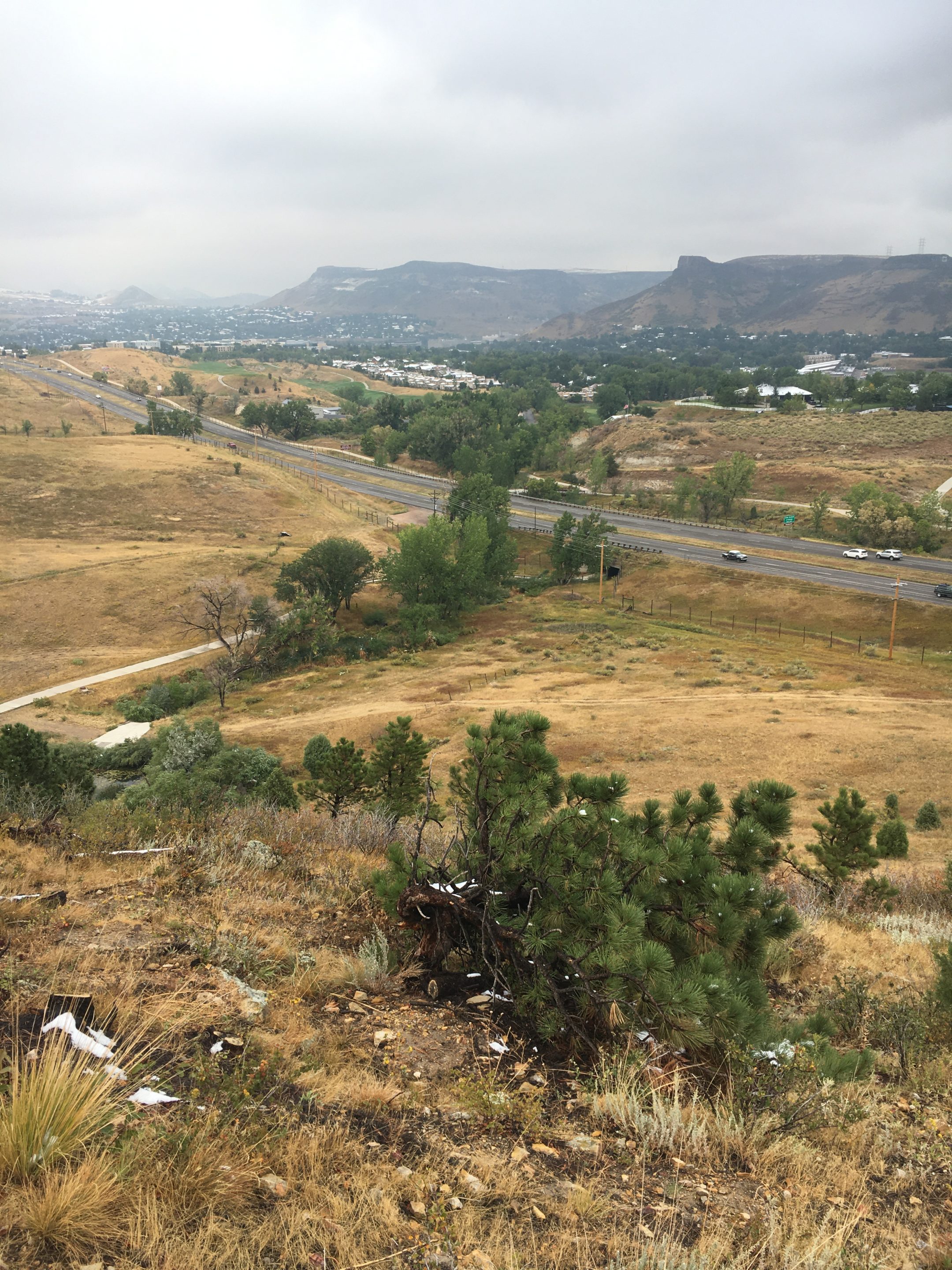
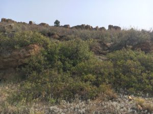
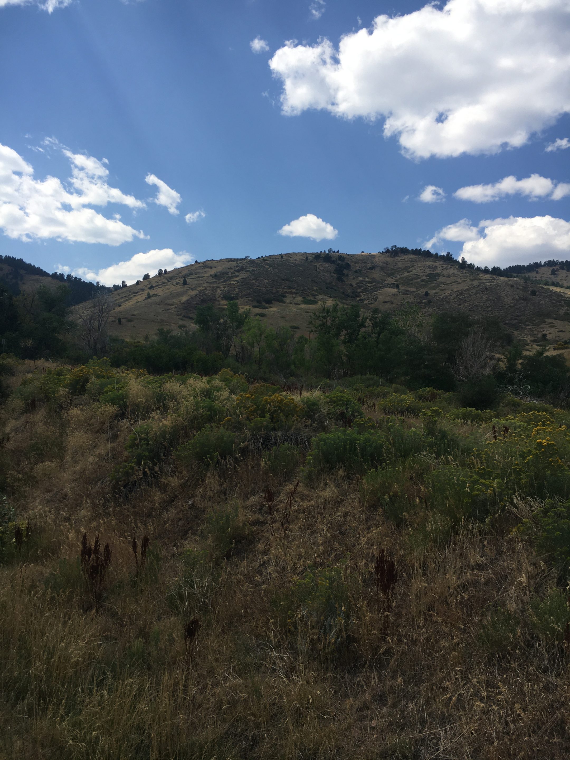
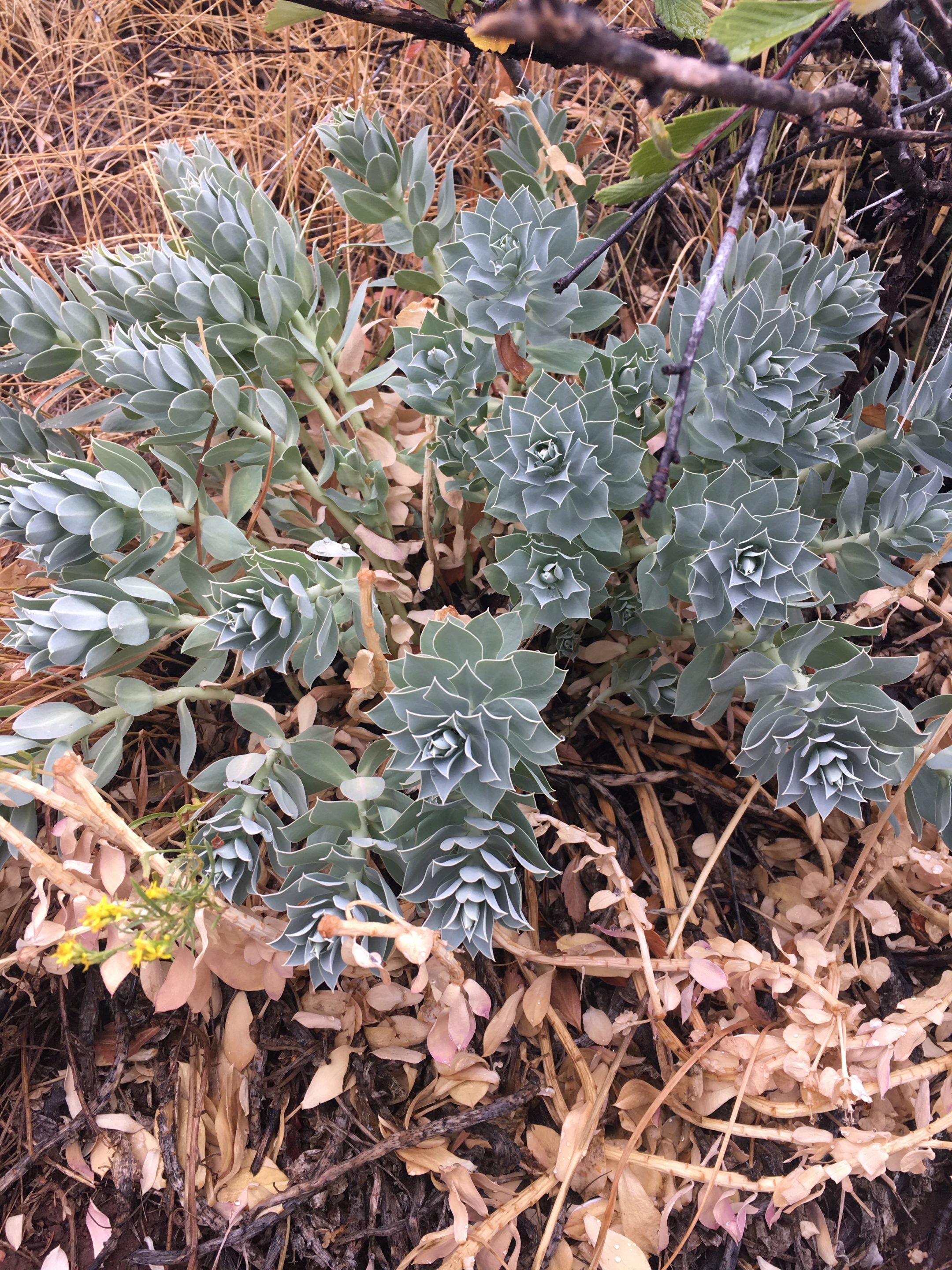
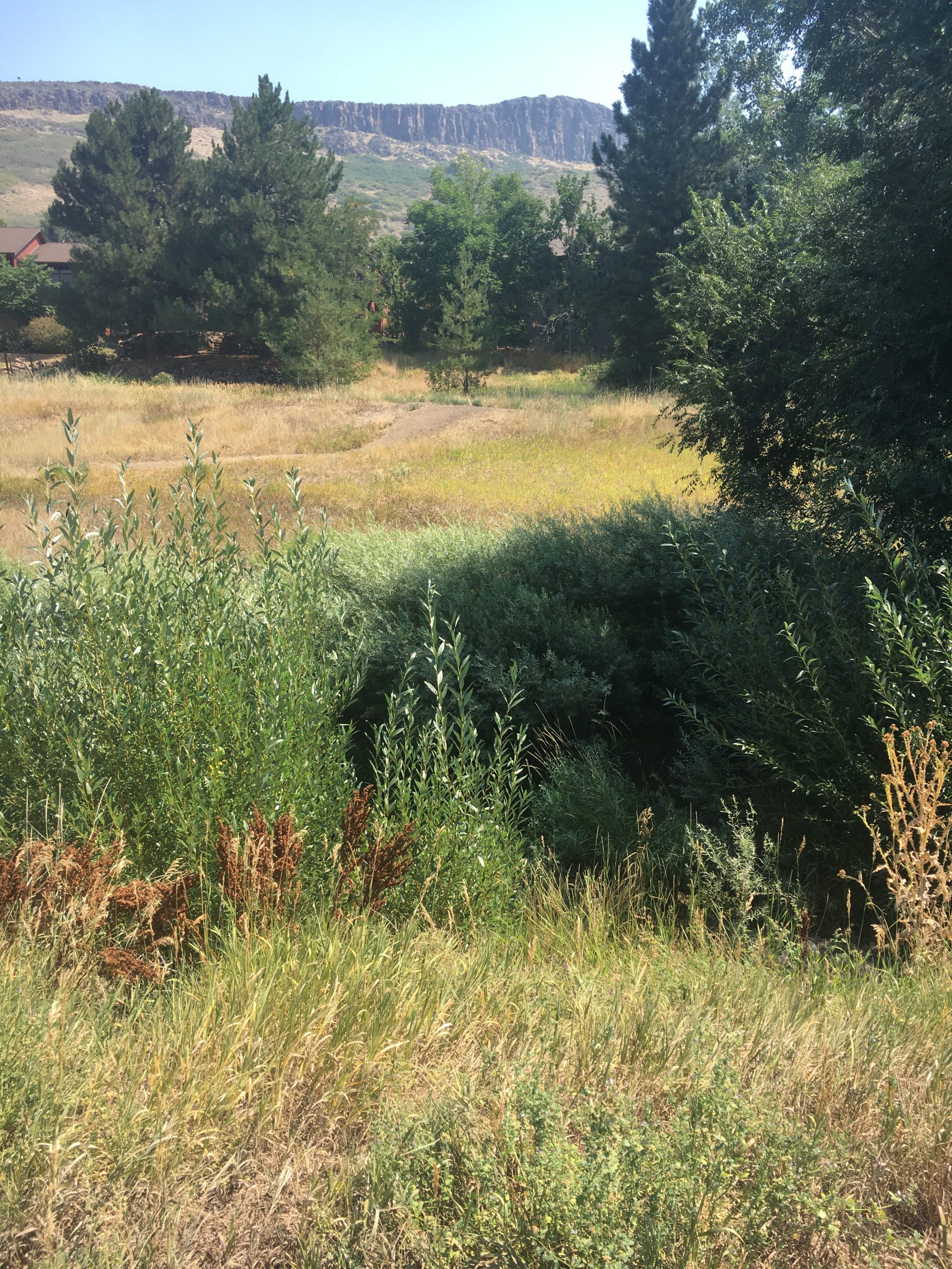
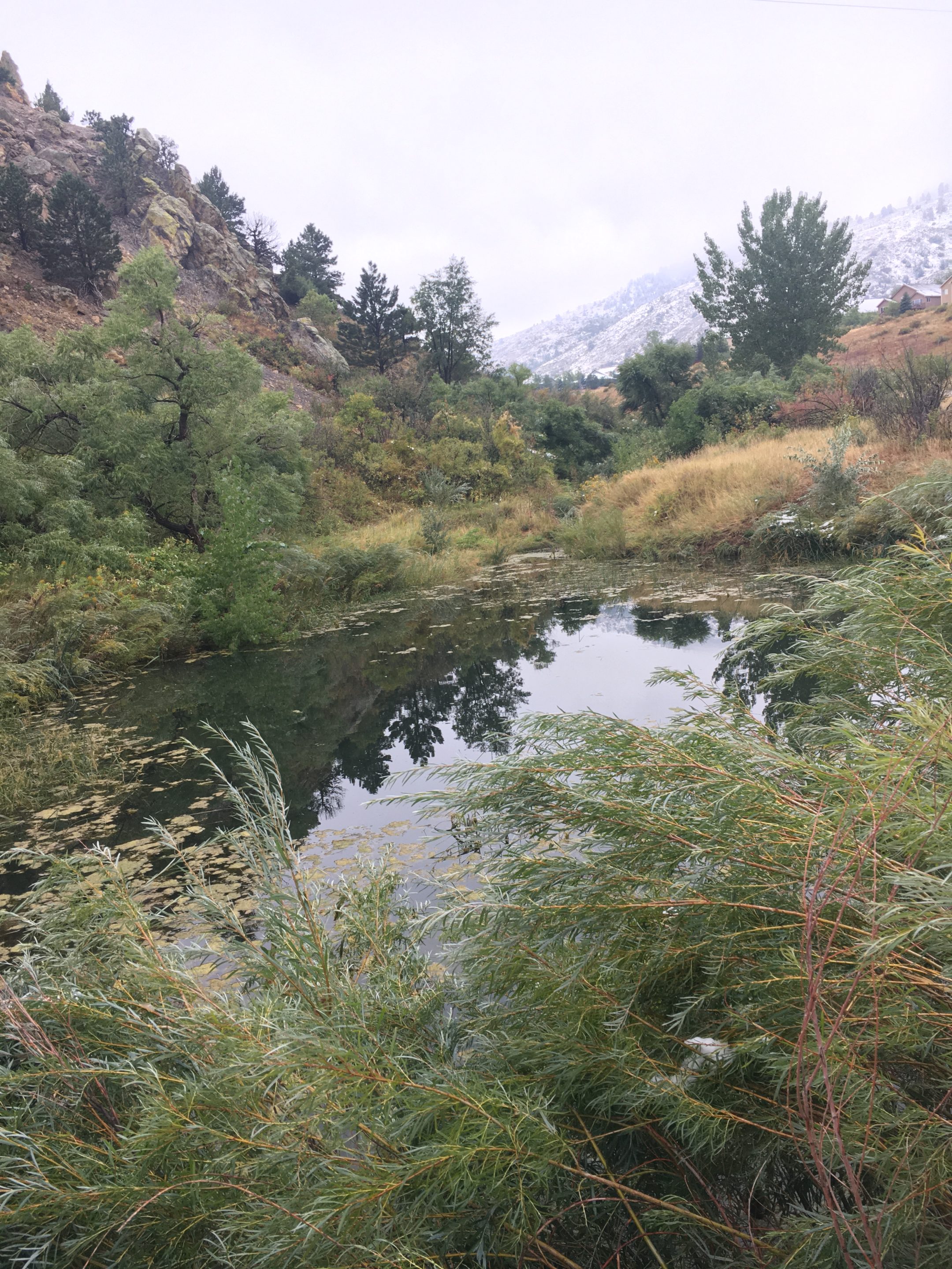
A large portion of the work done in the last year was focused on visiting and collecting data at each of the 11 open space sites here in Golden. After a few scope changes, it was decided that instead of focusing on all open space parcels, the Big Horns team would focus on three parcels that were deemed most significant by SOGOS: Kinney Run, Dakota Ridge, and North Washington Open Space. From here, the team was able to delve into the parcels with a more narrowed vision in order to enhance understanding of the land being assessed. While all parcels of open space are significant in their own regard, SOGOS was clear in their desire for the team to complete the rest of the Physical Record on these three sites specifically.
Additionally, the team went through a few notable iterations to a physical record template that would encompass the wide variety of data that needed to be collected and assessed. With the help of SOGOS, and Tom Schweich in particular, the team was able to narrow down the important aspects to be recorded at each parcel. Aspects such as hydrology, topography, and localized flora and fauna in the area are a few of the high-profile features that the team put time towards. It was also somewhat of a relief to learn that the team would be narrowing the scope yet again to simply the three aforementioned open space parcels, as this produced better results than what would have likely come from all 11 parcels
3D Printed Models
This process involved using QGIS software and the .TIF LiDAR files from USGS (data acquired from OpenTopography.com). One advantage to this method is the ability to work with smaller file sizes. The data available on the USGS website is subset by quadrants that the USGS determined and you have to download the data based on these quadrants. On OpenTopography.com, the same data is used but you are able to define the boundaries of interest and only download the data for those boundaries, regardless of how many of the USGS quadrants it overlays.
A GIS program is needed next, and so far QGIS (an open source software) has proven to work well and is mostly used to convert the file format into what is known as a Digital Elevation Model (DEM), and then ultimately to the final file type used, STL (stereolithography, a CAD type format). If working with .LAS (or .LAZ) files a different program is needed to convert those files into the DEM format and this is where the personal laptops currently being used are not adequate for the tasks (processing the .LAS files includes potentially millions of data points and thus requires greater computational power).
Using QGIS to create the DEM and STL files follows. This step creates the 3D representation of the file and using a program called AccuTrans 3D (another open-source software) the image can be rotated or zoomed in or out. The next steps involve using the .STL file with the software that the 3D printers provide, making any adjustments or edits to the file, saving or converting to the file format required by the printer and then actually printing the model.
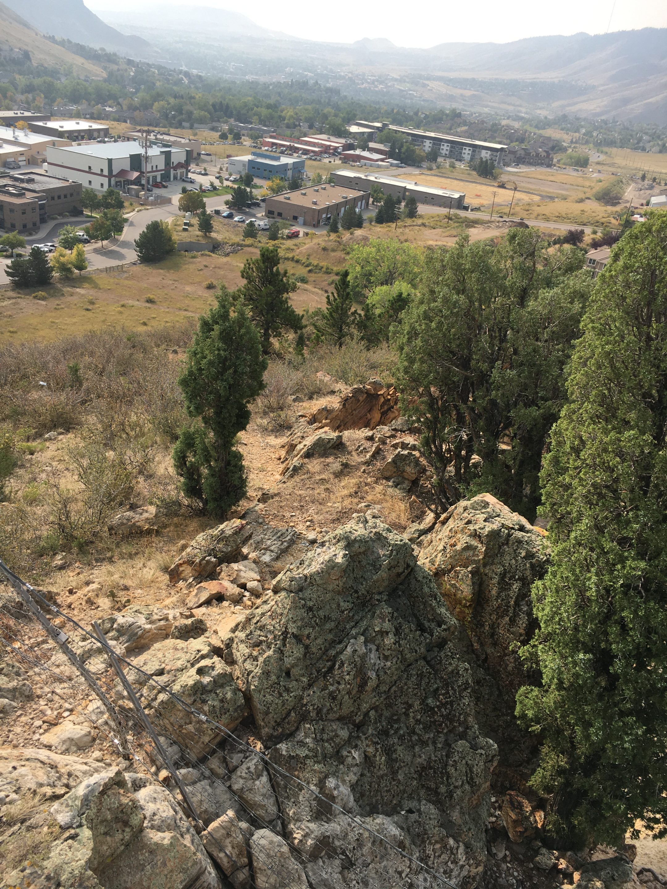
Early Bird Site Access
Access to the Early Bird fossil site on the Dakota Ridge open space parcel consists of three major obstacles. These are access control, viewing path layout and design, and educational installations.
Access control depends primarily on parking access to the parcel. Multiple different parking locations were discussed in this process as well as the idea of building a parking lot at the southern tip of the parcel.
Team members were never able to visit the fossils due to a combination of them being closed off to the public by a fence with a locked gate as well as the inability to find anyone with a key during the Coronavirus pandemic. Although this was a challenge for the team, thought was put into a general path layout as well the costs of building a trail with different materials. These materials included gravel, asphalt, and concrete with gravel being the least expensive and concrete being the most.
Finally, research was done on implementing general information stations to educate viewers of the parcel’s significance. Prices of different signs or placards were recorded in order to present SOGOS with an overall cost estimate of turning the site into a educational experience for all.
Design Solution
Open Space Inventory
An open space inventory template was created and provided to SOGOS so that it may be applied to any Golden open space parcels in the future. Additionally, this template was applied to the Kinney Run, Dakota Ridge, and North Washington open space parcels. This template consisted of land history and ownership, geological formations, archaeological and paleontological elements, hydrology, and wildlife components.
3D Printed Models
3D printed models were created for the Dakota Ridge, and North Washington open space parcels. Due to the Covid-19 pandemic, we were unable to utilize Mines’ printing lab to the extent that we had hoped. It was decided that no vertical scaling was necessary for these models and painting overlays on the prints was determined feasible. STL files were also provided to SOGOS so that more prints may be made in the future.
Early Bird Site Access
It was determined that creating a parking lot would be too expensive and parking inside the neighborhood may upset the local community. Therefore, the best option for controlling access to the site is to park on Pine Ridge Road. There is currently a concrete path that encircles the local community. This path starts at Pine Ridge Road and already serves as a great path to take viewers most of the way to the fossils. It was decided that a 6 foot wide gravel trail should branch off from this concrete path and take viewers as close as possible to the fossils. Additionally, a small culvert may need to be installed as well so that the current stream may continue to flow without posing significant erosion potential to the trail. Finally, small information stations/signs/placards may be installed to provide educational information to the viewers of the parcel. The total cost of this project will be in the realm of $10,000 – $15,000.
Next Steps
 The next steps that need to be completed for this project are for SOGOS to complete the open space inventory assessments for each Golden open space parcel. Additionally, creating more 3D prints of these parcels will allow different overlays to be printed on each parcel. 3D printing instructions will be provided to SOGOS so they can continue to print models in the future. Finally, SOGOS should contact a construction company to assess the feasibility of making the Early Bird Site accessible.
Meet the Team
Brock Abeyta
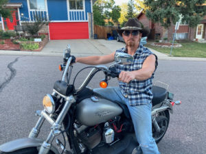
 Brock is a native to Colorado. He grew up camping, fishing and exploring in our state’s outdoors, which is what sparked his interest in this project. He is graduating in December with a degree in Mechanical Engineering, and has plans to commission in the US Air Force afterwards.
Charlie Barron
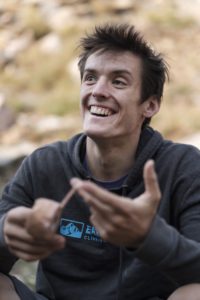 Charlie will graduate from Colorado School of Mines with a B.S. in Mechanical Engineering. He has balanced being a full time student alongside being a professional rock climber and youth rock climbing coach. He wishes to find work as a mechanical engineer so that he has the financial freedom to travel and climb worldwide. He also hopes to continue being able to give back to the sport that has shaped his life by continuing to coach the next generation of rock climbers.
Alex Liethen
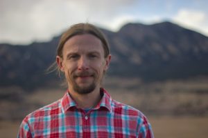 Alex graduated from Colorado School of Mines with a B.S. in environmental engineering and a minor in renewable energy. Alex hopes to work in environmental remediation or continue his research within the public sector upon graduation. When not in the classroom, Alex enjoys spending time outdoors, often with his camera in tow.
Jack Mathes
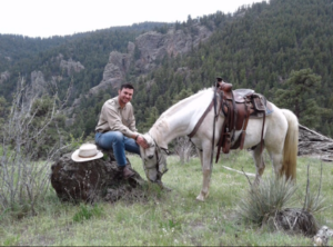
 Jack is graduating with a mechanical engineering degree and going into the Air Force. His hobbies include ordering truck parts and fishing. He is thankful for the opportunity to participate in the furthering of Golden’s open space.
Breanna Moak
 Breanna is a Colorado Native who loves spending time outdoors and hours on her paddleboard. She is graduating with a B.S. in Environmental Engineering and working towards her M.S in Environmental and Water Engineering with a Certificate in Humanitarian Engineering. Upon graduation she hopes to work on large scale site remediation projects and volunteer on clean water projects.